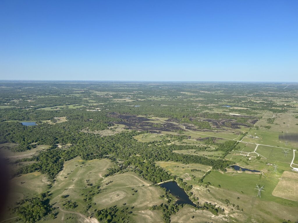
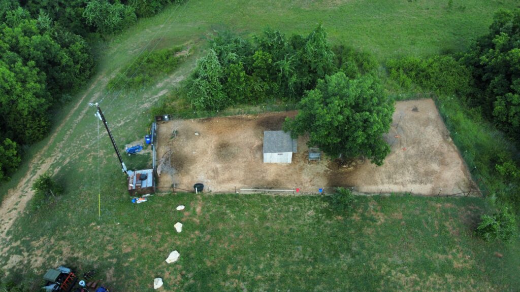
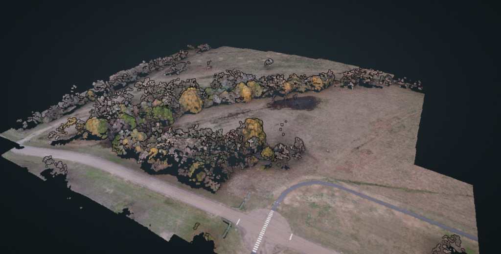
High-resolution, geo-accurate orthophotos and orthomosaics for land managers, developers, and conservation professionals. Perfect for documentation, change detection, GIS integration, and post-incident assessment.
Crisp, cinematic aerial imagery for real estate, marketing, inspections, and creative projects. We capture the details that matter.
Thermal drone inspections deliver fast, accurate insights you can’t see with the naked eye. Identify heat loss, electrical issues, wildlife, water intrusion, and fire risk with precision.
New to drones or looking to sharpen your skills? With years of hands-on experience and a passion for aviation, we offer 1-on-1 coaching and practical guidance for aspiring drone pilots.
Get in touch with us and we can discuss how UAS can help you.


At CGD Aerial Services, we specialize in drone-based aerial imaging designed for the forestry, land-management, and construction sectors. Proudly serving east Texas and central Louisiana, including Natchitoches, Alexandria, Shreveport, Monroe and the places in between.