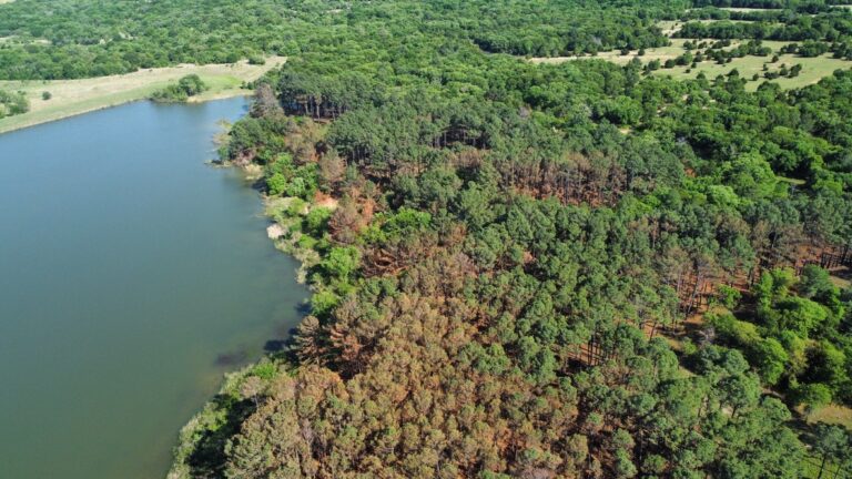
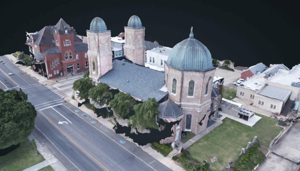
We offer a variety of options to maximize the value of the data collected by our drone. Whether you need high-quality aerial photos or videos, or require customized insights derived from the images, we’re here to help. With our extensive experience, we can assist you in determining the best end products to meet the specific needs of your project.
The types of products that we can create are as unique as your project, it could be as simple as some photos or video, or more advanced formats available for your analysis. Below is a basic list of items that we can build for you from aerial data that we collect.