Precision from Above — Powered by CGD Aerial Services
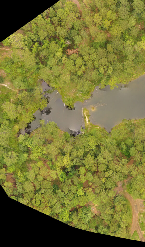
At CGD Aerial Services, we deliver high-resolution orthophotos that give land managers the clarity they need to make confident, data-driven decisions. These map-accurate aerial images are more than just pictures — they’re tools for better stewardship of your land.
🔍 Clear, Scalable Mapping
Our orthophotos provide a true-to-scale, top-down view of your property — perfect for mapping boundaries, roads, trails, and other key features. Whether you’re managing timber resources, planning infrastructure, or maintaining recreation areas, we help you see the full picture.
🌲 Monitor Forest Health Over Time
Detect changes before they become problems. CGD’s orthophotos make it easy to compare conditions season to season or year to year — tracking canopy density, spotting stressed vegetation, and identifying areas impacted by disease, pests, or drought.
🚨 Rapid Post-Incident Assessments
After storms, wildfires, or other disruptive events, time is critical. We provide fast-turnaround orthomosaic maps to help you assess damage, prioritize response efforts, and plan restoration — all without needing to send crews into the field.
💧 Manage Erosion and Water Flow
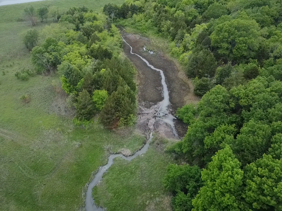
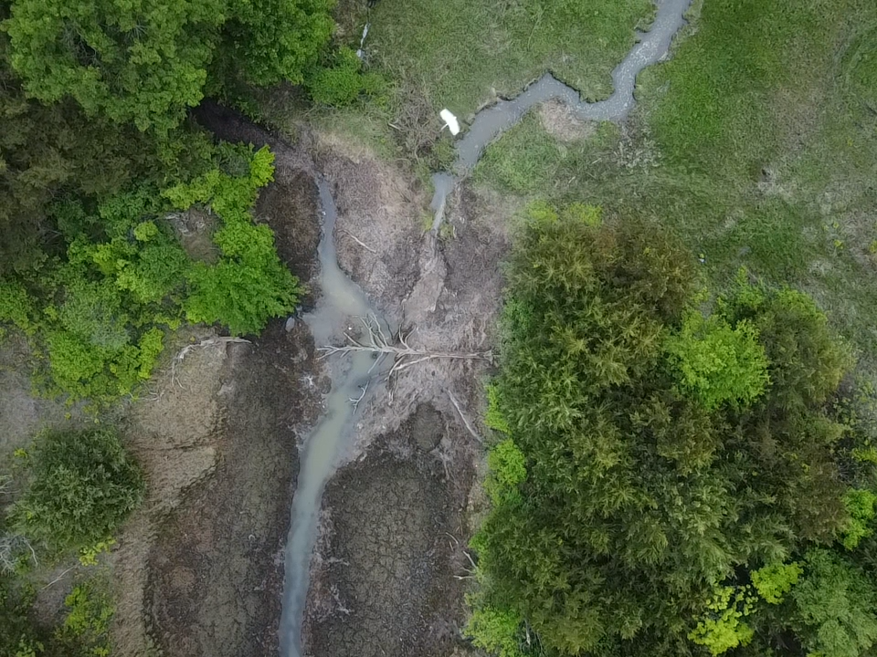
With a bird’s-eye view, you can spot erosion patterns, track runoff, and monitor stream alignment. Orthophotos help you identify risks early and plan conservation or drainage improvements with precision.
🗺️ Seamless GIS Integration
All orthophotos from CGD Aerial Services are GIS-ready, making it simple to integrate them into your existing workflows. Layer them with topography, soil maps, or wildlife data for deeper analysis and smarter land-use decisions.
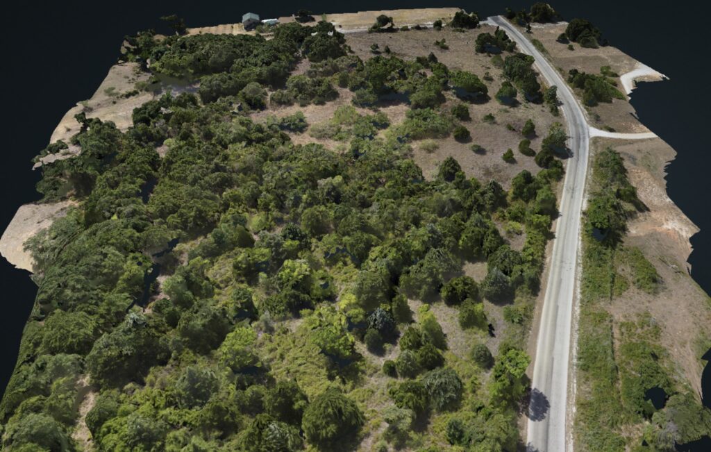
Put Your Land in Focus
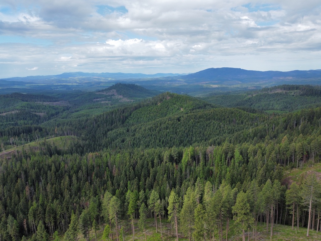
Let CGD Aerial Services help you manage smarter, respond faster, and protect your land with confidence.
👉 Contact us today to schedule your aerial mapping project.