About CGD Aerial services

Origin Story
My fascination with flight began long before drones were ever a thought—back when I was a young child flying RC airplanes in my with my grandfather. That early passion for aviation stuck with me, especially as a third generation pilot, eventually leading to earning my private pilot’s license. But it wasn’t until 2019, when I took the controls of a drone for the first time, that everything clicked.
I realized drones could combine my love of flight, technology, and nature into a single purpose: using the sky to protect the ground.
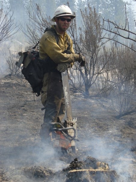
With a college degree Forest Management from Texas A&M and a love for the outdoors and forestry. I pursued my love of the forests in the US Forest Service as a wildland firefighter, and eventually meeting the other (or better) half of the CGD in wildland fire.
That realization gave birth to CGD Aerial Services, built on a mission to offer reliable aerial photography, forest health analysis, and post-incident damage assessment. What started with a DJI Air 2S and a clear vision is now evolving toward more advanced multi-spectral and thermal imaging—because every acre, every tree, and every community deserves to be seen from above with clarity and care.
At its core, this business is about more than flying drones. It’s about giving people the insight they need to make better decisions for their land, their safety, and their future.

What we can do for you
Services available
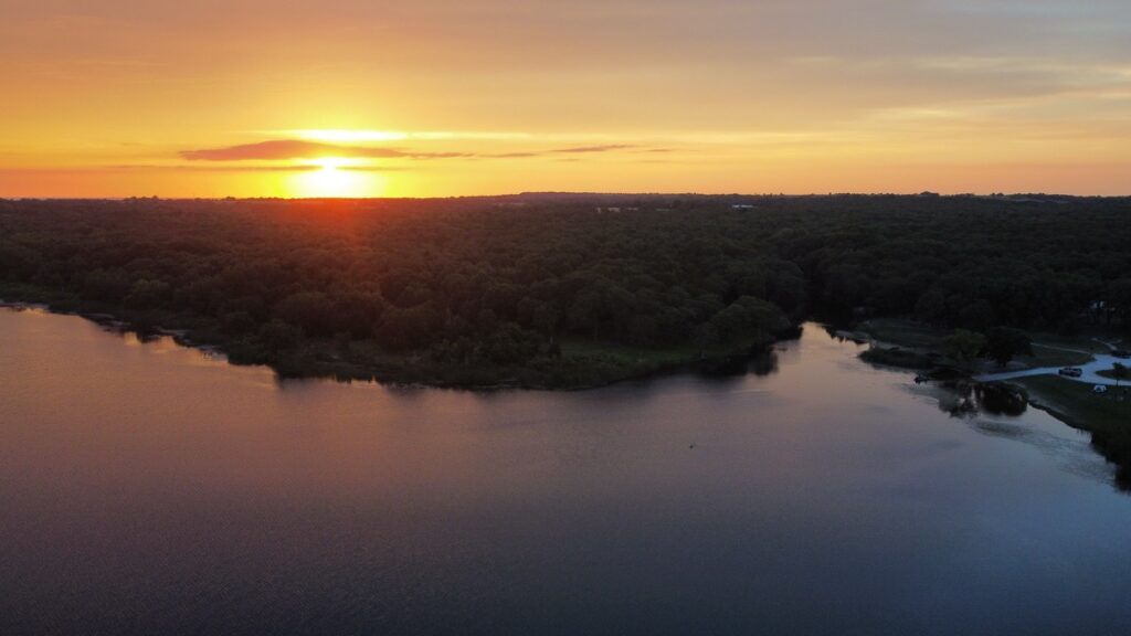
Aerial Photography a new perspective for a real estate or property management
Orthomosaic Photos a close to real time sky view down image of the property
Incident Damage Near time photos or video for visual damage assessment from storms or fires.
Stockpile Assessments. Utilizing technology to overfly stockpiles for estimation of cubic feet of material
FPV Video Fly throughs or fly around videos of a property highlighting selling aspects.
Coaching Building new UAS pilots for the future, either commercially or for hobby.
if any of these services interest you! Hit us up to see what CGD Aerial Services can do for you.